01
The visible and the invisible
The RGB camera with mechanical shutter captures farm detail. Green, red, red-edge and near-infrared bands add information about vegetation.
MAPPING AND MULTISPECTRAL ANALYSIS
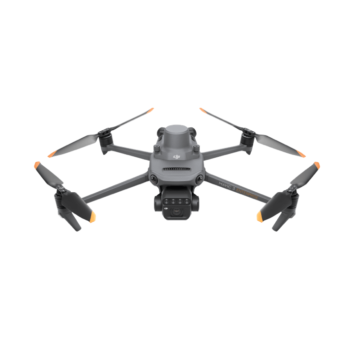
Mavic 3 Multispectral
The Mavic 3 Multispectral combines visible imagery and four multispectral bands. Gather information to identify variability, guide field observations and support agronomic planning.
THE ESSENTIALS, IN DETAIL
Discover the features that make a difference when choosing and preparing your equipment.
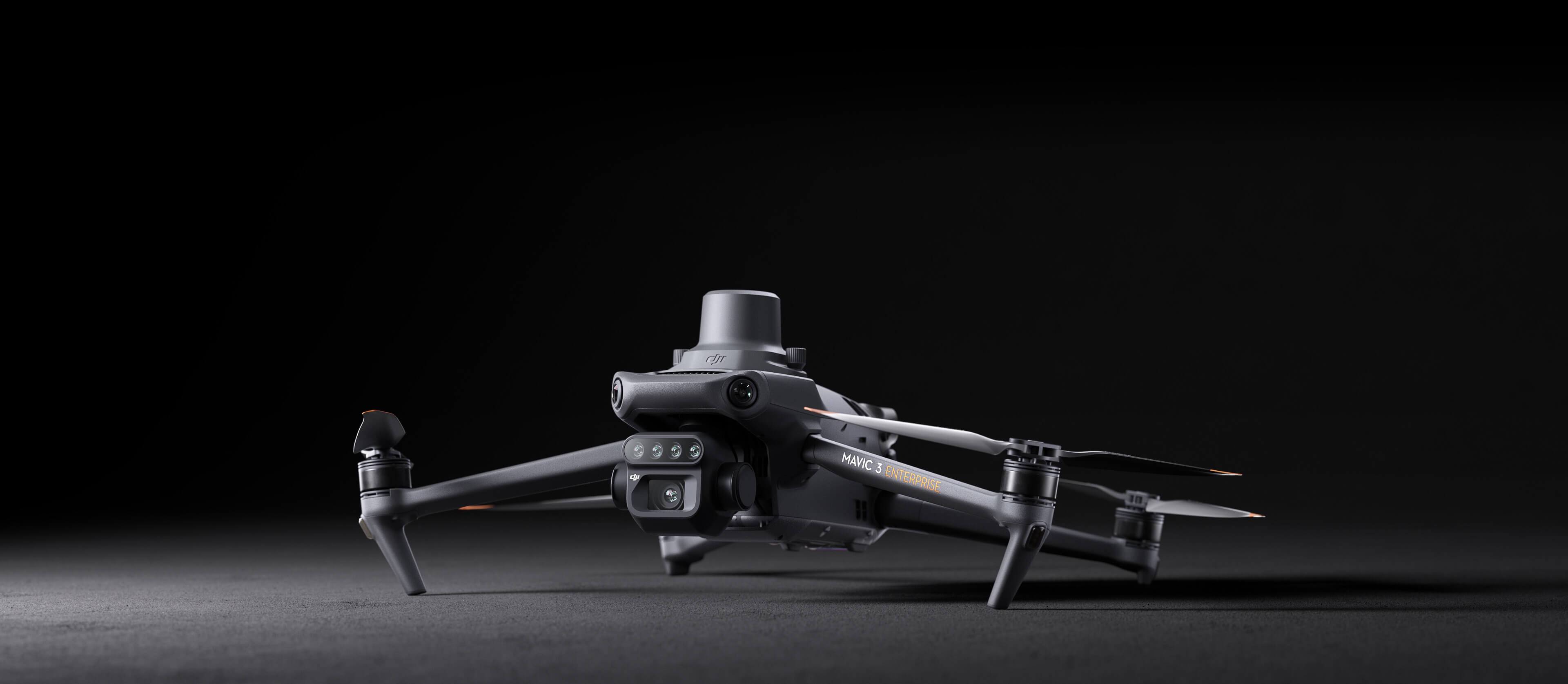
The RGB camera with mechanical shutter captures farm detail. Green, red, red-edge and near-infrared bands add information about vegetation.
The RTK module and camera time synchronisation support georeferenced surveys. The sunlight sensor records lighting conditions during capture.
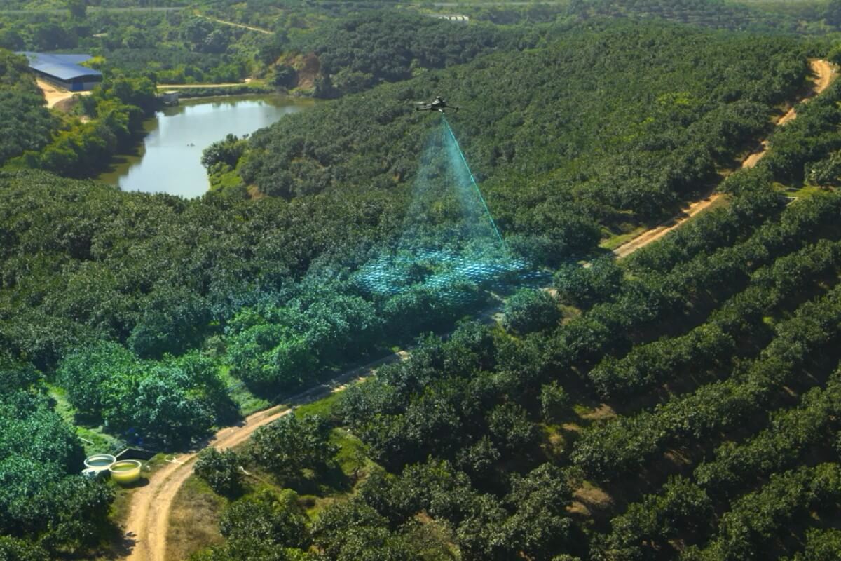
Use surveys to support crop monitoring and orchard mapping. Results should be interpreted within the farm's agronomic context.
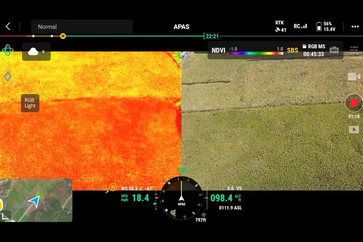
Official DJI example of vegetation data visualisation. Maps help locate differences within a plot and guide field observations.
POWER AND CONTINUITY
Removable batteries, a charger and a charging station help organise survey missions. Actual flight time depends on the route, wind and operating conditions.
Explore power and charging ↗AT A GLANCE
Manufacturer reference data, organised for a quick overview.
We confirm configuration, compatibility and availability for Portugal in the quote.
BEFORE YOU CHOOSE
No. The Mavic 3 Multispectral captures images and data. AGRAS aircraft are the platforms dedicated to spraying and spreading.
No. It is a support tool for locating differences and guiding analysis. It should be combined with observations and knowledge of the crop.
Equipment, configuration, power, accessories, implementation, training and support. The scope is defined according to your operation and set out in the proposal.
OFFICIAL DOCUMENTATION
Read the manufacturer’s instructions to prepare, operate and care for your drone.
KEEP EXPLORING
ADN ECOSYSTEM
Your operation, connected.
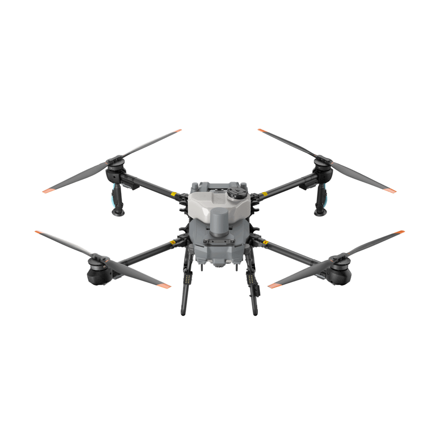
Compact in transit. Capable in the field.
ADN ECOSYSTEM
A configuration tailored to you.
THE NEXT STEP STARTS IN YOUR FIELD