01
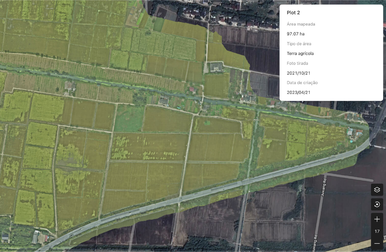
Organise plots
View plot boundaries and information in a map interface, with an overview of the farm.
THE DIGITAL SIDE OF YOUR OPERATION
DJI SmartFarm
DJI SmartFarm connects equipment management with farm information. The app and web platform offer complementary functions for monitoring operations and organising agricultural data.
THE ESSENTIALS, IN DETAIL
Discover the features that make a difference when choosing and preparing your equipment.
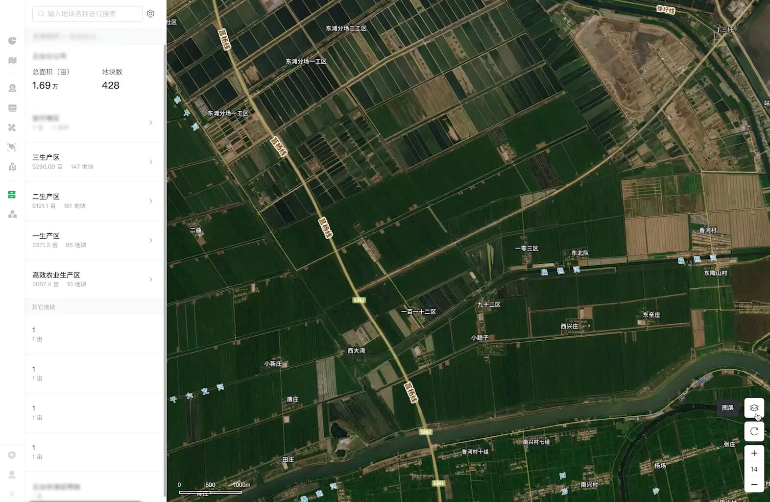
View plot boundaries and information in a map interface, with an overview of the farm.
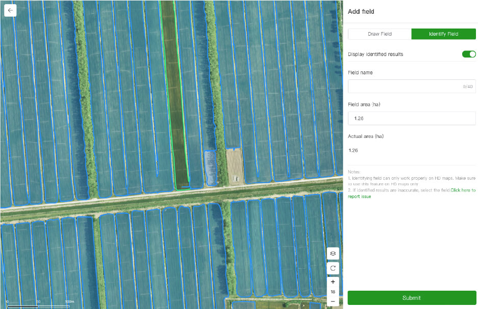
View records and routes to relate completed operations to each plot.
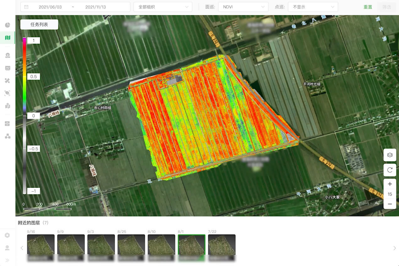
Explore crop maps and observations to support agronomic analysis. Indices require interpretation in the context of field conditions.
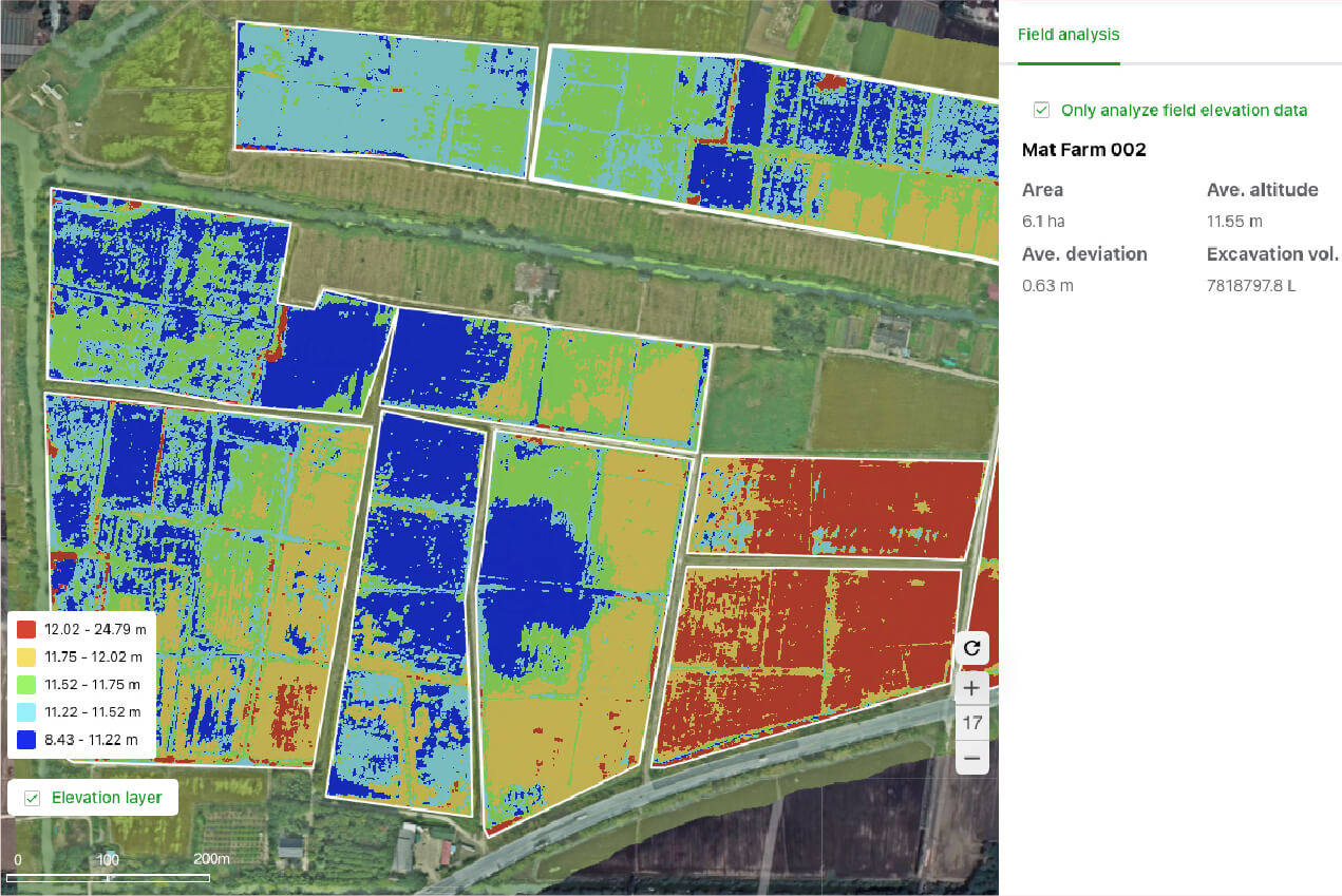
Multispectral information can support prescription maps and variable-rate operations. Features depend on the region, version and equipment.
PREPARING THE SOLUTION
The proposal considers equipment, platform access and user preparation. Features and access terms are confirmed for your operating context.
Explore power and charging ↗AT A GLANCE
Manufacturer reference data, organised for a quick overview.
We confirm configuration, compatibility and availability for Portugal in the quote.
BEFORE YOU CHOOSE
No. The app focuses on monitoring equipment and operations; the web version adds tools for farm information, reconstruction and analysis.
Access, features and any service terms must be confirmed for the chosen configuration, region and version.
Equipment, configuration, power, accessories, implementation, training and support. The scope is defined according to your operation and set out in the proposal.
KEEP EXPLORING
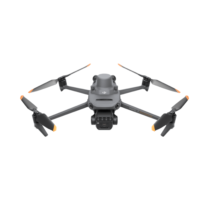
See beyond the visible.
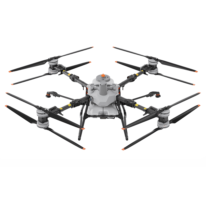
Capacity to go further.
THE NEXT STEP STARTS IN YOUR FIELD